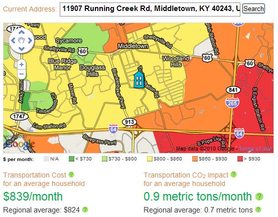
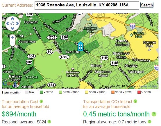
My brother sent this link along and I wanted to share it with you. A new site called Abogo hands out transportation cost estimates simply by entering an address. According to the site, this is how it works.

We estimate total transportation costs for an average household from your region living in your neighborhood, including commuting, errands, and all the other trips around town. We count money spent on car ownership and use, as well as public transit use. For CO2 emissions, we count car use only. We use data from the Housing + Transportation Affordability Index, a project of the Center for Neighborhood Technology.
In an effort to make it simple and easy to use, Abogo seems to make a great number of assumptions to arrive at their estimate.
Even still, it’s a fun way to spend a few minutes and might help you decide that your next Louisville home should be in The Highlands (below) rather than Douglass Hills (at the top).


